Horton, Queensland
| Horton Queensland |
|||||||||||||||
|---|---|---|---|---|---|---|---|---|---|---|---|---|---|---|---|
| Coordinates | Lua error in package.lua at line 80: module 'strict' not found. | ||||||||||||||
| Population | 158 (2016 census)[1] | ||||||||||||||
| • Density | 10.60/km2 (27.46/sq mi) | ||||||||||||||
| Postcode(s) | 4660 | ||||||||||||||
| Area | 14.9 km2 (5.8 sq mi) | ||||||||||||||
| Time zone | AEST (UTC+10:00) | ||||||||||||||
| Location |
|
||||||||||||||
| LGA(s) | Bundaberg Region | ||||||||||||||
| State electorate(s) | Burnett | ||||||||||||||
| Federal Division(s) | Hinkler | ||||||||||||||
|
|||||||||||||||
Horton is a rural town and locality in the Bundaberg Region, Queensland, Australia.[2][3] In the 2016 census, the locality of Horton had a population of 158 people.[1]
Geography
The Bruce Highway forms the southern boundary of the locality.[4]
History
The town was possibly named after sugar planter George Horton.[2][3]
A Methodist Church was opened in Horton in 1886. Due to the decline of the Horton township the church was subsequently[when?] moved to Childers. It became the Childers Uniting Church in June 1977 following the amalgamation of the Methodist Church into the Uniting Church in Australia in 1977. It is now listed on the Bundaberg Heritage Register.[5]
The first section of the Isis railway line branched from the North Coast railway line at Goodwood. It opened to Childers on 31 October 1887 with intermediate stations at Bootharh, Horton and Doolbi.[6] Horton railway station was at Lua error in package.lua at line 80: module 'strict' not found. and has been dismantled.[7] The line closed in 1964.
Horton State School opened about 1888. In 1900, it was renamed Doolbi State School. The school closed in 1953.[8] It was at 204 Goodwood Road,[9] now the site of the clubhouse of the Isis Golf Club in neighbouring Doolbi.[10]
In the 2016 census, the locality of Horton had a population of 158 people.[1]
Education
There are no schools in Horton. The nearest government primary school is Childers State School in Childers to the west. The nearest government secondary school is Isis District State High School, also in Childers.[4]
References
- ↑ 1.0 1.1 1.2 Lua error in package.lua at line 80: module 'strict' not found.Lua error in Module:EditAtWikidata at line 29: attempt to index field 'wikibase' (a nil value).Lua error in Module:WikidataCheck at line 28: attempt to index field 'wikibase' (a nil value).
- ↑ 2.0 2.1 Lua error in package.lua at line 80: module 'strict' not found.
- ↑ 3.0 3.1 Lua error in package.lua at line 80: module 'strict' not found.
- ↑ 4.0 4.1 Lua error in package.lua at line 80: module 'strict' not found.
- ↑ Lua error in package.lua at line 80: module 'strict' not found.
- ↑ Lua error in package.lua at line 80: module 'strict' not found.
- ↑ Lua error in package.lua at line 80: module 'strict' not found.
- ↑ Lua error in package.lua at line 80: module 'strict' not found.
- ↑ Lua error in package.lua at line 80: module 'strict' not found.
- ↑ Lua error in package.lua at line 80: module 'strict' not found.
External links
| Wikimedia Commons has media related to Horton, Queensland. |
- Lua error in package.lua at line 80: module 'strict' not found.
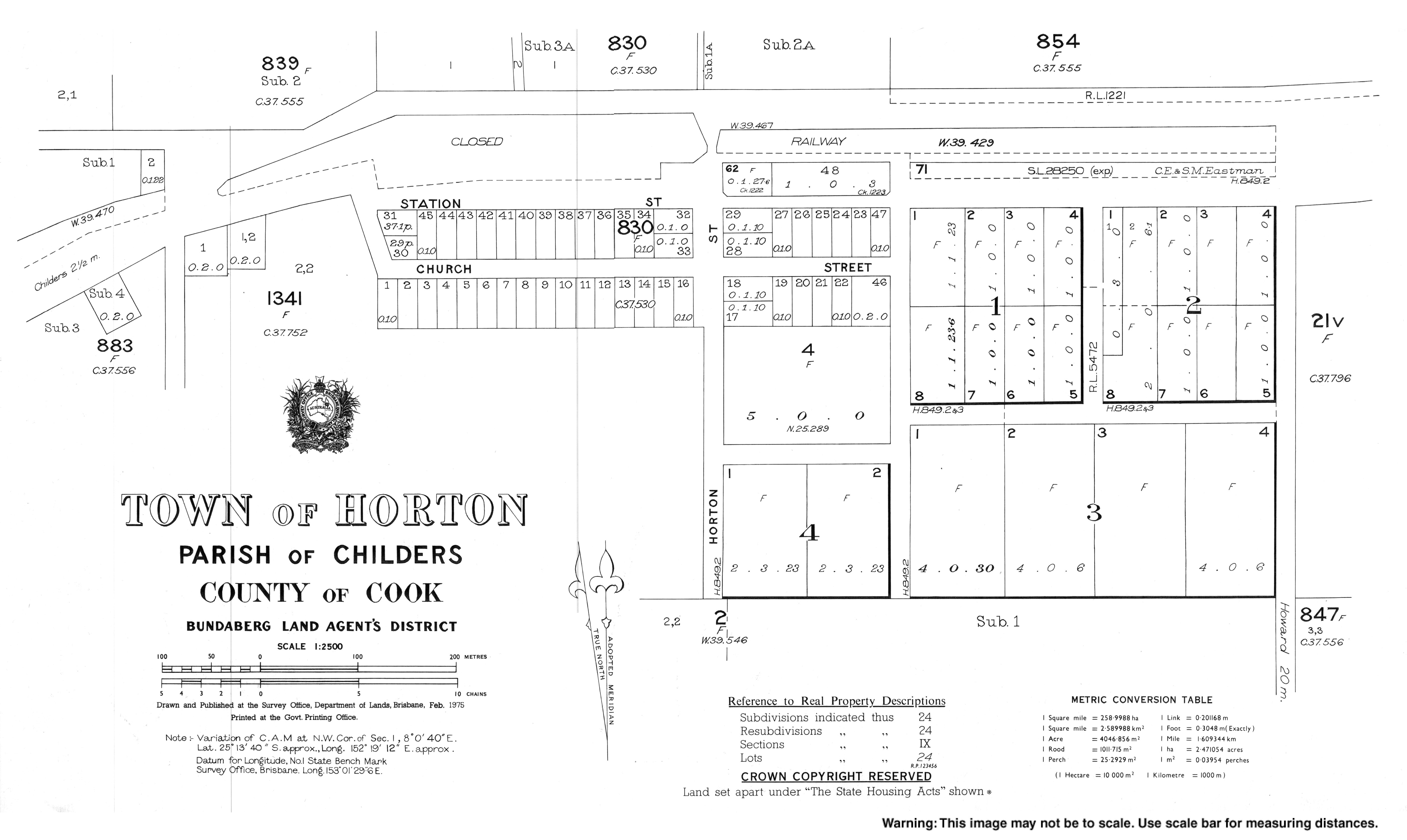
- Town map of Horton, 1975
- Use dmy dates from October 2019
- Use Australian English from October 2019
- All Wikipedia articles written in Australian English
- Towns in Queensland
- Vague or ambiguous time from September 2021
- Articles with invalid date parameter in template
- Commons category link is defined as the pagename
- Localities in Queensland
- Bundaberg Region