Qalqas
| Qalqas | |
|---|---|
| Other transcription(s) | |
| • Arabic | قلقاس |

Qalqas
|
|
| Coordinates: Lua error in package.lua at line 80: module 'strict' not found. | |
| Governorate | Hebron |
| Government | |
| • Type | Village council |
| Population (2007) | |
| • Jurisdiction | 1,149 |
| Name meaning | "The ruin of potatoes"[1] |
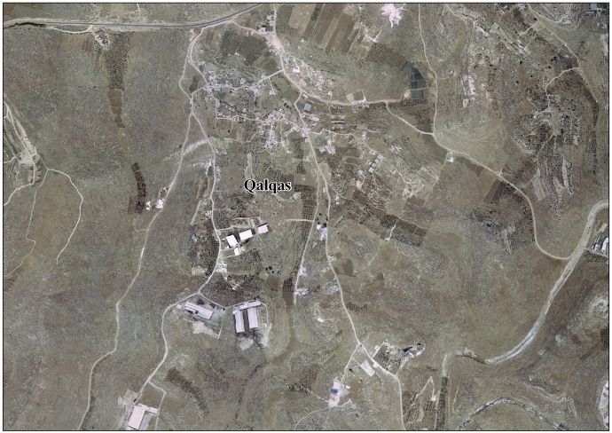
Qalqas or Qilqis (Arabic: قلقاس) is a Palestinian village located four kilometers south of Hebron and adjacent to Beit Hagai. The village is in the Hebron Governorate Southern West Bank. According to the Palestinian Central Bureau of Statistics, the village had a population of 1,149 in 2007.[2] The primary health care facilities for the village are designated by the Ministry of Health as level 1.[3]
History
French explorer Victor Guérin visited the place in 1863, and described it as "the ruins of a large village".[4]
In 1883, the Palestine Exploration Fund's Survey of Western Palestine called the place Khurbet Kilkis. It was described as having "walls and cisterns, and rock-cut tombs".[5]
Footnotes
<templatestyles src="Reflist/styles.css" />
Cite error: Invalid <references> tag; parameter "group" is allowed only.
<references />, or <references group="..." />Bibliography
- Lua error in package.lua at line 80: module 'strict' not found.
- Lua error in package.lua at line 80: module 'strict' not found.
- Lua error in package.lua at line 80: module 'strict' not found.
External links
- SWP map 21
- Qalqas Village (Fact Sheet)
- Qalqas Village Profile
- Qalqas Village Area Photo
- The priorities and needs for development in Qalqas village based on the community and local authorities’ assessment

- ↑ Palmer, 1881, p. 400
- ↑ 2007 PCBS Census Palestinian Central Bureau of Statistics. p.119.
- ↑ West Bank Health care
- ↑ Guérin, 1869, pp. 212, 257-258
- ↑ Conder and Kitchener, 1883, SWP III, p. 358